 FOS ENERGY
Current Status
Where is the vessel?
FOS ENERGY is currently in 42 nm SE of OSMAN DIGNA, based on AIS data received about 14h ago.
Latest AIS update:
Current position: 18.78458° N, 38.00653° E (42 nm SE of OSMAN DIGNA)
Average speed (last 7 days): Loading…
Average speed (last 30 days): Loading…
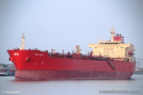
Vessel profile: FOS ENERGY is a Chemical/Oil Products Tanker with dimensions 32m x 183m.
This page combines live AIS, route history, probable destination signals, nearby traffic, and port activity for practical vessel monitoring.
The current position of vessel FOS ENERGY is 18.78458 lat / 38.00653 lng. Updated: 2026-05-21 05:09:23 UTCNearest reference points:
- Near Port Sudan
- 53 nm SW of SHUAIBAH
- 99 nm SW of Al Qunfudah
Currently sailing under the flag of Marshall Islands ![]()
FOS ENERGY built in 2006 year
Deadweight:
45990 tDetails:
Live Vessel FOS ENERGY Analytics (details, animations, etc.)
Recent AIS points (UTC):
2026-05-21 01:06:29 UTC · 18.78465, 38.00707 · SOG 21.1 kn · COG 44°2026-05-21 03:06:09 UTC · 18.78740, 38.02222 · SOG 19.4 kn · COG 46°
2026-05-21 04:30:43 UTC · 18.78542, 38.00715 · SOG 29.1 kn · COG 49°
2026-05-21 05:09:23 UTC · 18.78458, 38.00653 · SOG 0.1 kn · COG 125°