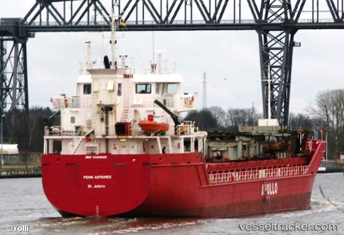
 Blue Antares
Current Status
Where is the vessel?
Blue Antares is currently in 12 nm W of Bozcaada, based on AIS data received about 14h ago.
Latest AIS update:
Current position: 39.87990° N, 25.81016° E (12 nm W of Bozcaada)
Average speed (last 7 days): Loading…
Average speed (last 30 days): Loading…
Vessel profile: Blue Antares is a Multi Purpose Carrier with dimensions 90m x 15m.
This page combines live AIS, route history, probable destination signals, nearby traffic, and port activity for practical vessel monitoring.
The current position of vessel Blue Antares is 39.87990 lat / 25.81016 lng. Updated: 2026-05-21 02:03:37 UTCNearest reference points:
- 14 nm SW of Bozcaada
- 14 nm NW of Baba Point
- Near Bozcaada
Currently sailing under the flag of Antigua Barbuda ![]()
Blue Antares built in 2008 year
Deadweight:
4450 tDetails:
Live Vessel Blue Antares Analytics (details, animations, etc.)
Recent AIS points (UTC):
2026-05-20 22:17:17 UTC · 40.21278, 26.41970 · SOG 11.1 kn · COG 248°2026-05-21 00:21:56 UTC · 40.01669, 26.04088 · SOG 9.1 kn · COG 262°
2026-05-21 01:02:26 UTC · 39.97127, 25.93148 · SOG 8.3 kn · COG 221°
2026-05-21 02:03:37 UTC · 39.87990, 25.81016 · SOG 7.2 kn · COG 226°