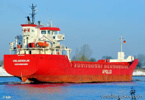
 Velserdijk
Current Status
Where is the vessel?
Velserdijk is currently in 97 nm E of Porto Santo Island, based on AIS data received about 15h ago.
Latest AIS update:
Current position: 32.55781° N, 14.49962° W (97 nm E of Porto Santo Island)
Average speed (last 7 days): Loading…
Average speed (last 30 days): Loading…
Vessel profile: Velserdijk is a Multi Purpose Carrier with dimensions m x 90m.
This page combines live AIS, route history, probable destination signals, nearby traffic, and port activity for practical vessel monitoring.
The current position of vessel Velserdijk is 32.55781 lat / -14.49962 lng. Updated: 2026-05-21 01:49:39 UTCNearest reference points:
- 109 nm E of Porto Santo Island
- 148 nm SE of Porto Santo Island
- 104 nm W of Jarjis
Currently sailing under the flag of Netherlands ![]()
Details:
Live Vessel Velserdijk Analytics (details, animations, etc.)
Recent AIS points (UTC):
2026-05-20 22:12:00 UTC · 33.06020, -14.30052 · SOG 8.9 kn · COG 195°2026-05-21 00:15:11 UTC · 32.77167, -14.41333 · SOG 8 kn · COG -1°
2026-05-21 01:09:51 UTC · 32.64851, -14.46373 · SOG 8.6 kn · COG 193°
2026-05-21 01:49:39 UTC · 32.55781, -14.49962 · SOG 8.3 kn · COG 189°