 HY WANDA
Current Status
Where is the vessel?
HY WANDA is currently in 17 nm SW of Lushun New Pt, based on AIS data received about 14h ago.
Latest AIS update:
Current position: 38.56233° N, 120.84708° E (17 nm SW of Lushun New Pt)
Average speed (last 7 days): Loading…
Average speed (last 30 days): Loading…
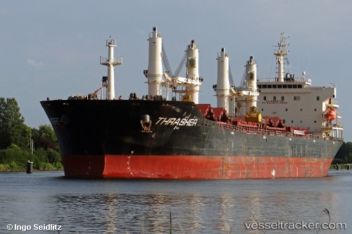
Vessel profile: HY WANDA is a Bulk Carrier with dimensions m x m.
This page combines live AIS, route history, probable destination signals, nearby traffic, and port activity for practical vessel monitoring.
The current position of vessel HY WANDA is 38.56233 lat / 120.84708 lng. Updated: 2026-05-21 07:52:53 UTCNearest reference points:
- 18 nm W of Lushun New Pt
- 23 nm SW of Lushun New Pt
- 13 nm S of Lushun New Pt
Currently sailing under the flag of Panama ![]()
Details:
Live Vessel HY WANDA Analytics (details, animations, etc.)
Recent AIS points (UTC):
2026-05-21 04:00:23 UTC · 38.66732, 119.92900 · SOG 12.5 kn · COG 93°2026-05-21 05:43:45 UTC · 38.63195, 120.36408 · SOG 11.5 kn · COG 97°
2026-05-21 07:14:15 UTC · 38.59267, 120.70953 · SOG 10.4 kn · COG 108°
2026-05-21 07:52:53 UTC · 38.56233, 120.84708 · SOG 10.8 kn · COG 108°