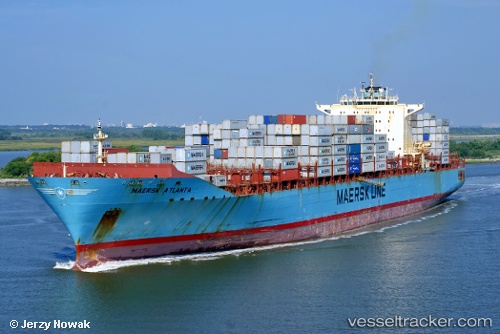
 Maersk Atlanta
Current Status
Where is the vessel?
Maersk Atlanta is currently in 46 nm SW of Offshore Ambrose, based on AIS data received about 14h ago.
Latest AIS update:
Current position: 39.85117° N, 72.88609° W (46 nm SW of Offshore Ambrose)
Average speed (last 7 days): Loading…
Average speed (last 30 days): Loading…
Vessel profile: Maersk Atlanta is a Container Ship with dimensions 299m x 40m.
This page combines live AIS, route history, probable destination signals, nearby traffic, and port activity for practical vessel monitoring.
The current position of vessel Maersk Atlanta is 39.85117 lat / -72.88609 lng. Updated: 2026-05-19 02:19:56 UTCNearest reference points:
- 13 nm E of Avon-by-the-Sea
- Near Bellmore
- Near Springville, Suffolk
Currently sailing under the flag of USA ![]()
Maersk Atlanta built in 2006 year
Deadweight:
84676 tDetails:
Live Vessel Maersk Atlanta Analytics (details, animations, etc.)
Recent AIS points (UTC):
2026-05-18 22:39:44 UTC · 39.27293, -72.08873 · SOG 14 kn · COG 318°2026-05-18 23:38:00 UTC · 39.45234, -72.26790 · SOG 13.7 kn · COG 310°
2026-05-19 01:52:14 UTC · 39.77584, -72.78749 · SOG 13.8 kn · COG 313°
2026-05-19 02:19:56 UTC · 39.85117, -72.88609 · SOG 14.1 kn · COG 313°