 TRANS HAV
Current Status
Where is the vessel?
TRANS HAV is currently in Near Brandasund, based on AIS data received about 15h ago.
Latest AIS update:
Current position: 59.90899° N, 4.80619° E (Near Brandasund)
Average speed (last 7 days): Loading…
Average speed (last 30 days): Loading…
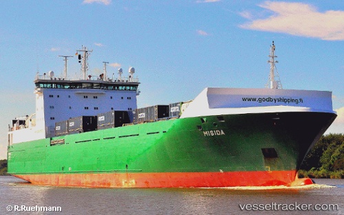
Vessel profile: TRANS HAV is a Ro-Ro Cargo with dimensions m x m.
This page combines live AIS, route history, probable destination signals, nearby traffic, and port activity for practical vessel monitoring.
The current position of vessel TRANS HAV is 59.90899 lat / 4.80619 lng. Updated: 2026-05-20 10:25:57 UTCNearest reference points:
- Near TORANGSVAG
- Near Glesvær
- Near SANDVIKVAAG
Currently sailing under the flag of Malta ![]()
Details:
Live Vessel TRANS HAV Analytics (details, animations, etc.)
Recent AIS points (UTC):
2026-05-20 07:44:57 UTC · 60.44450, 4.60757 · SOG 12 kn · COG 168°2026-05-20 08:09:37 UTC · 60.36344, 4.63891 · SOG 12.3 kn · COG 169°
2026-05-20 09:39:26 UTC · 60.06167, 4.73996 · SOG 12.3 kn · COG 165°
2026-05-20 10:25:57 UTC · 59.90899, 4.80619 · SOG 12.1 kn · COG 168°