 vesseltracker.com
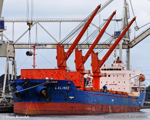
 LADY LAGUNA
Current Status
Where is the vessel?
LADY LAGUNA is currently in 24 nm E of Monemvasía, based on AIS data received about 14h ago.
Latest AIS update:
Current position: 36.66129° N, 23.55279° E (24 nm E of Monemvasía)
Average speed (last 7 days): Loading…
Average speed (last 30 days): Loading…
Vessel profile: LADY LAGUNA is a Bulk Carrier with dimensions m x m.
This page combines live AIS, route history, probable destination signals, nearby traffic, and port activity for practical vessel monitoring.
The current position of vessel LADY LAGUNA is 36.66129 lat / 23.55279 lng. Updated: 2026-05-18 13:33:57 UTCNearest reference points:
- 20 nm E of FOKIANOS
- 17 nm W of Milos (Adamas)
- Near Koilas Ermionidos
Currently sailing under the flag of San Marino ![]()
Details:
Live Vessel LADY LAGUNA Analytics (details, animations, etc.)
Recent AIS points (UTC):
2026-05-18 10:35:26 UTC · 36.40490, 22.94651 · SOG 12.7 kn · COG 96°2026-05-18 12:10:25 UTC · 36.45129, 23.32383 · SOG 11.8 kn · COG 55°
2026-05-18 13:11:46 UTC · 36.60361, 23.49267 · SOG 12.1 kn · COG 41°
2026-05-18 13:33:57 UTC · 36.66129, 23.55279 · SOG 12.3 kn · COG 41°