 LADY DIVINA
Current Status
Where is the vessel?
LADY DIVINA is currently in Near BAKIRKOY, based on AIS data received about 14h ago.
Latest AIS update:
Current position: 40.94244° N, 28.87644° E (Near BAKIRKOY)
Average speed (last 7 days): Loading…
Average speed (last 30 days): Loading…
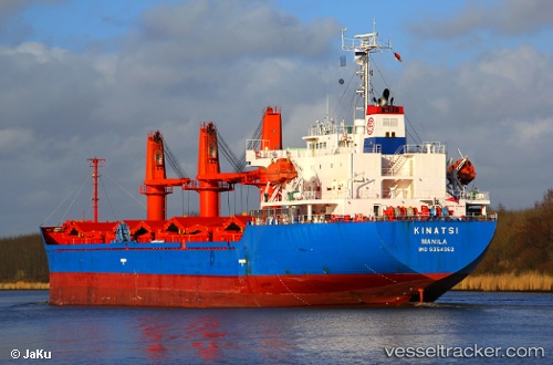
Vessel profile: LADY DIVINA is a Bulk Carrier with dimensions m x m.
This page combines live AIS, route history, probable destination signals, nearby traffic, and port activity for practical vessel monitoring.
The current position of vessel LADY DIVINA is 40.94244 lat / 28.87644 lng. Updated: 2026-05-20 13:51:28 UTCNearest reference points:
- Near BAKIRKOY
- Near ZEYTINBURNU
- Near Davutpasa
Currently sailing under the flag of San Marino ![]()
Details:
Live Vessel LADY DIVINA Analytics (details, animations, etc.)
Recent AIS points (UTC):
2026-05-20 10:15:31 UTC · 40.94312, 28.87650 · SOG 0.1 kn · COG 292°2026-05-20 11:36:28 UTC · 40.94315, 28.87620 · SOG 0 kn · COG 295°
2026-05-20 13:00:31 UTC · 40.94205, 28.87592 · SOG 0.1 kn · COG 332°
2026-05-20 13:51:28 UTC · 40.94244, 28.87644 · SOG 0.1 kn · COG 310°