 JASMINE
Current Status
Where is the vessel?
JASMINE is currently in 42 nm E of Nangang, based on AIS data received about 14h ago.
Latest AIS update:
Current position: 24.85563° N, 122.73901° E (42 nm E of Nangang)
Average speed (last 7 days): Loading…
Average speed (last 30 days): Loading…
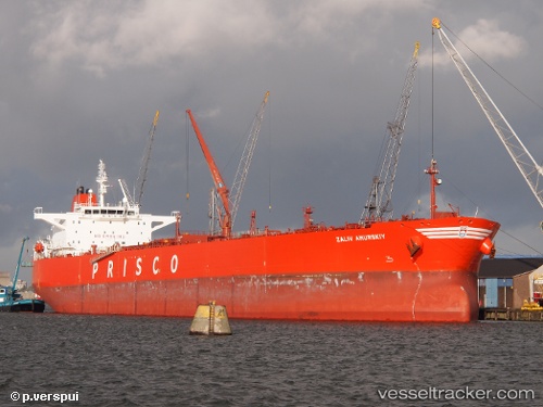
Vessel profile: JASMINE is a Crude Oil Tanker with dimensions m x m.
This page combines live AIS, route history, probable destination signals, nearby traffic, and port activity for practical vessel monitoring.
The current position of vessel JASMINE is 24.85563 lat / 122.73901 lng. Updated: 2026-05-20 00:21:36 UTCNearest reference points:
- 55 nm E of Nangang
- 13 nm NE of Nangang
- 14 nm NE of Nangang
Currently sailing under the flag of Oman ![]()
Details:
Live Vessel JASMINE Analytics (details, animations, etc.)
Recent AIS points (UTC):
2026-05-19 19:54:04 UTC · 23.68633, 122.67115 · SOG 14.4 kn · COG 354°2026-05-19 21:22:30 UTC · 24.06276, 122.63798 · SOG 15.6 kn · COG 1°
2026-05-19 22:24:07 UTC · 24.33574, 122.63562 · SOG 16 kn · COG 1°
2026-05-20 00:21:36 UTC · 24.85563, 122.73901 · SOG 16 kn · COG 13°