 SEAWAYS LILY
Current Status
Where is the vessel?
SEAWAYS LILY is currently in Near Fpo(Sea)/Chennai, based on AIS data received about 14h ago.
Latest AIS update:
Current position: 13.10882° N, 80.30321° E (Near Fpo(Sea)/Chennai)
Average speed (last 7 days): Loading…
Average speed (last 30 days): Loading…
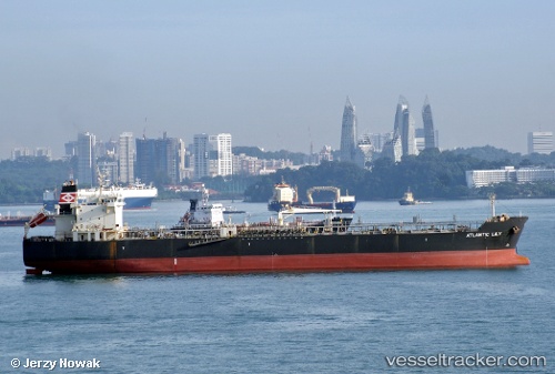
Vessel profile: SEAWAYS LILY is a Oil/Chemical Tanker with dimensions m x m.
This page combines live AIS, route history, probable destination signals, nearby traffic, and port activity for practical vessel monitoring.
The current position of vessel SEAWAYS LILY is 13.10882 lat / 80.30321 lng. Updated: 2026-05-21 12:01:53 UTCNearest reference points:
- Near Chennai (ex Madras)
- Near Madras
- 17 nm NE of Nandiambakkam
Currently sailing under the flag of Marshall Islands ![]()
Details:
Live Vessel SEAWAYS LILY Analytics (details, animations, etc.)
Recent AIS points (UTC):
2026-05-21 07:37:51 UTC · 13.10884, 80.30322 · SOG 0 kn · COG 9°2026-05-21 10:04:43 UTC · 13.10880, 80.30322 · SOG 0 kn · COG 10°
2026-05-21 10:19:51 UTC · 13.10881, 80.30321 · SOG 0 kn · COG 9°
2026-05-21 12:01:53 UTC · 13.10882, 80.30321 · SOG 0 kn · COG 9°