 CMA CGM DA NANG
Current Status
Where is the vessel?
CMA CGM DA NANG is currently in 91 nm N of Nosy-Be, based on AIS data received about 14h ago.
Latest AIS update:
Current position: 11.82167° S, 48.05500° E (91 nm N of Nosy-Be)
Average speed (last 7 days): Loading…
Average speed (last 30 days): Loading…
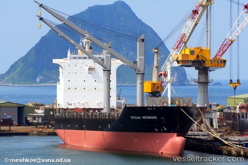
Vessel profile: CMA CGM DA NANG is a Container Ship with dimensions m x m.
This page combines live AIS, route history, probable destination signals, nearby traffic, and port activity for practical vessel monitoring.
The current position of vessel CMA CGM DA NANG is -11.82167 lat / 48.05500 lng. Updated: 2026-05-21 12:07:04 UTCNearest reference points:
- 14 nm SW of Nosy-Be
- 103 nm E of Nosy-Be
Currently sailing under the flag of Malta ![]()
Details:
Live Vessel CMA CGM DA NANG Analytics (details, animations, etc.)
Recent AIS points (UTC):
2026-05-21 07:39:38 UTC · -11.85986, 49.01479 · SOG 12.8 kn · COG 270°2026-05-21 09:21:37 UTC · -11.84500, 48.63500 · SOG 12 kn · COG -1°
2026-05-21 10:57:56 UTC · -11.82833, 48.29833 · SOG 12 kn · COG -1°
2026-05-21 12:07:04 UTC · -11.82167, 48.05500 · SOG 12 kn · COG -1°