 CORONA SEA
Current Status
Where is the vessel?
CORONA SEA is currently in Near Paldiski, based on AIS data received about 14h ago.
Latest AIS update:
Current position: 59.36511° N, 23.99558° E (Near Paldiski)
Average speed (last 7 days): Loading…
Average speed (last 30 days): Loading…
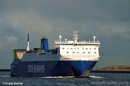
Vessel profile: CORONA SEA is a Vehicles Carrier with dimensions m x m.
This page combines live AIS, route history, probable destination signals, nearby traffic, and port activity for practical vessel monitoring.
The current position of vessel CORONA SEA is 59.36511 lat / 23.99558 lng. Updated: 2026-05-19 10:11:00 UTCNearest reference points:
- Near Ristna
- Near Mahu Sadam
- Near Aegna
Currently sailing under the flag of Portugal ![]()
Details:
Live Vessel CORONA SEA Analytics (details, animations, etc.)
Recent AIS points (UTC):
2026-05-19 07:00:15 UTC · 59.82163, 22.95141 · SOG 0 kn · COG 242°2026-05-19 08:20:06 UTC · 59.75593, 23.03191 · SOG 20.5 kn · COG 140°
2026-05-19 10:09:12 UTC · 59.37229, 23.98098 · SOG 20.8 kn · COG 132°
2026-05-19 10:11:00 UTC · 59.36511, 23.99558 · SOG 20.7 kn · COG 134°