 PACIFIC ENDEAVOUR
Current Status
Where is the vessel?
PACIFIC ENDEAVOUR is currently in 121 nm N of Mutineer, based on AIS data received about 14h ago.
Latest AIS update:
Current position: 17.26581° S, 116.77107° E (121 nm N of Mutineer)
Average speed (last 7 days): Loading…
Average speed (last 30 days): Loading…
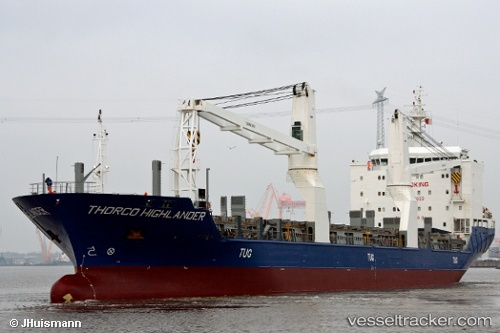
Vessel profile: PACIFIC ENDEAVOUR is a General Cargo with dimensions m x m.
This page combines live AIS, route history, probable destination signals, nearby traffic, and port activity for practical vessel monitoring.
The current position of vessel PACIFIC ENDEAVOUR is -17.26581 lat / 116.77107 lng. Updated: 2026-05-19 11:32:13 UTCNearest reference points:
- 121 nm NE of Mutineer
- 116 nm NE of Mutineer
- 185 nm NE of Mutineer
Currently sailing under the flag of Marshall Islands ![]()
Details:
Live Vessel PACIFIC ENDEAVOUR Analytics (details, animations, etc.)
Recent AIS points (UTC):
2026-05-19 07:30:20 UTC · -16.45994, 116.75206 · SOG 12.6 kn · COG 174°2026-05-19 10:18:29 UTC · -17.02752, 116.75608 · SOG 12.2 kn · COG 182°
2026-05-19 11:03:44 UTC · -17.17167, 116.76333 · SOG 11 kn · COG -1°
2026-05-19 11:32:13 UTC · -17.26581, 116.77107 · SOG 12.2 kn · COG 184°