 MAUBERT
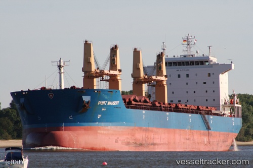
Current Status
Where is the vessel?
MAUBERT is currently in Near HEREKE, based on AIS data received about 16h ago.
Latest AIS update:
Current position: 40.76301° N, 29.64566° E (Near HEREKE)
Average speed (last 7 days): Loading…
Average speed (last 30 days): Loading…
Vessel profile: MAUBERT is a Bulk Carrier with dimensions m x m.
This page combines live AIS, route history, probable destination signals, nearby traffic, and port activity for practical vessel monitoring.
The current position of vessel MAUBERT is 40.76301 lat / 29.64566 lng. Updated: 2026-05-21 13:54:40 UTCNearest reference points:
- Near YARIMCA
- Near Diliskelesi
- Near Yilport
Currently sailing under the flag of Liberia ![]()
Details:
Live Vessel MAUBERT Analytics (details, animations, etc.)
Recent AIS points (UTC):
2026-05-21 10:48:33 UTC · 40.76249, 29.64600 · SOG 0 kn · COG 263°2026-05-21 11:21:30 UTC · 40.76249, 29.64592 · SOG 0 kn · COG 263°
2026-05-21 13:06:37 UTC · 40.76357, 29.64518 · SOG 0 kn · COG 223°
2026-05-21 13:54:40 UTC · 40.76301, 29.64566 · SOG 0 kn · COG 241°