 GULF FANATIR
Current Status
Where is the vessel?
GULF FANATIR is currently in 249 nm W of Windermere, based on AIS data received about 14h ago.
Latest AIS update:
Current position: 33.96629° S, 23.50580° W (249 nm W of Windermere)
Average speed (last 7 days): Loading…
Average speed (last 30 days): Loading…
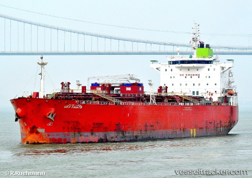
Vessel profile: GULF FANATIR is a Oil/Chemical Tanker with dimensions m x m.
This page combines live AIS, route history, probable destination signals, nearby traffic, and port activity for practical vessel monitoring.
The current position of vessel GULF FANATIR is -33.96629 lat / -23.50580 lng. Updated: 2026-05-20 05:47:37 UTCCurrently sailing under the flag of Panama ![]()
Details:
Live Vessel GULF FANATIR Analytics (details, animations, etc.)
Recent AIS points (UTC):
2026-05-20 02:01:19 UTC · -33.77077, -24.41201 · SOG 12.3 kn · COG 108°2026-05-20 03:49:47 UTC · -33.86439, -23.98033 · SOG 12.4 kn · COG 108°
2026-05-20 04:23:28 UTC · -33.89210, -23.84759 · SOG 12.1 kn · COG 109°
2026-05-20 05:47:37 UTC · -33.96629, -23.50580 · SOG 12.6 kn · COG 105°