 NELLI
NELLI
Current Status
Where is the vessel?
NELLI is currently in 39 nm NW of Pavilosta, based on AIS data received about 14h ago.
Latest AIS update:
Current position: 57.32231° N, 20.31470° E (39 nm NW of Pavilosta)
Average speed (last 7 days): Loading…
Average speed (last 30 days): Loading…
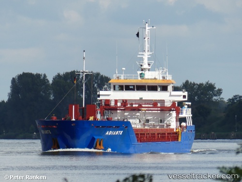
Vessel profile: NELLI is a General Cargo with dimensions m x m.
This page combines live AIS, route history, probable destination signals, nearby traffic, and port activity for practical vessel monitoring.
The current position of vessel NELLI is 57.32231 lat / 20.31470 lng. Updated: 2026-05-20 16:15:02 UTCNearest reference points:
- Near Cimdenieki
- Near Ventspils
- 11 nm N of Ventspils
Currently sailing under the flag of Antigua and Barbuda ![]()
Details:
Live Vessel NELLI Analytics (details, animations, etc.)
Recent AIS points (UTC):
2026-05-20 13:01:21 UTC · 57.71313, 20.27947 · SOG 7.2 kn · COG 174°2026-05-20 13:49:42 UTC · 57.61530, 20.28592 · SOG 7.2 kn · COG 176°
2026-05-20 15:53:42 UTC · 57.36556, 20.30938 · SOG 7.2 kn · COG 173°
2026-05-20 16:15:02 UTC · 57.32231, 20.31470 · SOG 7.2 kn · COG 173°