 LADY NANA
Current Status
Where is the vessel?
LADY NANA is currently in Near Boma, based on AIS data received about 15h ago.
Latest AIS update:
Current position: 5.87127° S, 13.03652° E (Near Boma)
Average speed (last 7 days): Loading…
Average speed (last 30 days): Loading…
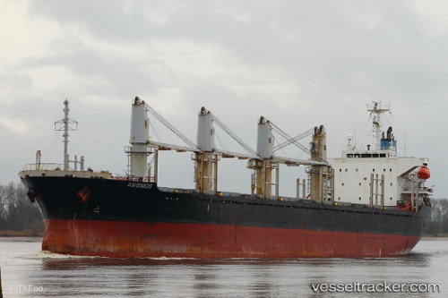
Vessel profile: LADY NANA is a Bulk Carrier with dimensions m x m.
This page combines live AIS, route history, probable destination signals, nearby traffic, and port activity for practical vessel monitoring.
The current position of vessel LADY NANA is -5.87127 lat / 13.03652 lng. Updated: 2026-05-20 06:03:13 UTCNearest reference points:
- Near SOYO
- Near Futila Terminal
- 11 nm W of Cabinda
Currently sailing under the flag of Panama ![]()
Details:
Live Vessel LADY NANA Analytics (details, animations, etc.)
Recent AIS points (UTC):
2026-05-20 02:03:11 UTC · -5.87132, 13.03657 · SOG 0 kn · COG 61°2026-05-20 04:09:11 UTC · -5.87137, 13.03650 · SOG 0 kn · COG 60°
2026-05-20 04:42:11 UTC · -5.87133, 13.03652 · SOG 0 kn · COG 62°
2026-05-20 06:03:13 UTC · -5.87127, 13.03652 · SOG 0 kn · COG 66°