 GAUSS
GAUSS
Current Status
Where is the vessel?
GAUSS is currently in 77 nm S of Vrangel', based on AIS data received about 14h ago.
Latest AIS update:
Current position: 41.44833° N, 133.26167° E (77 nm S of Vrangel')
Average speed (last 7 days): Loading…
Average speed (last 30 days): Loading…
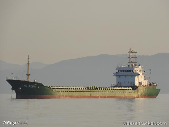
Vessel profile: GAUSS is a General Cargo with dimensions m x m.
This page combines live AIS, route history, probable destination signals, nearby traffic, and port activity for practical vessel monitoring.
The current position of vessel GAUSS is 41.44833 lat / 133.26167 lng. Updated: 2026-06-02 01:30:50 UTCNearest reference points:
- 75 nm S of Askold
- 46 nm SE of Vrangel'
- 35 nm S of Vrangel'
Currently sailing under the flag of Sierra Leone ![]()
Details:
Live Vessel GAUSS Analytics (details, animations, etc.)
Recent AIS points (UTC):
2026-06-01 21:51:45 UTC · 41.82333, 132.85500 · SOG 7 kn · COG -1°2026-06-01 23:21:45 UTC · 41.66667, 133.01666 · SOG 7 kn · COG -1°
2026-06-02 01:24:49 UTC · 41.45833, 133.24834 · SOG 8 kn · COG -1°
2026-06-02 01:30:50 UTC · 41.44833, 133.26167 · SOG 8 kn · COG -1°