 ZOBU START
Current Status
Where is the vessel?
ZOBU START is currently in 22 nm E of Smeaton Grange, based on AIS data received about 14h ago.
Latest AIS update:
Current position: 34.01812° S, 151.69325° E (22 nm E of Smeaton Grange)
Average speed (last 7 days): Loading…
Average speed (last 30 days): Loading…
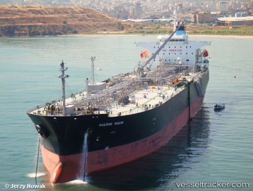
Vessel profile: ZOBU START is a Oil Products Tanker with dimensions m x m.
This page combines live AIS, route history, probable destination signals, nearby traffic, and port activity for practical vessel monitoring.
The current position of vessel ZOBU START is -34.01812 lat / 151.69325 lng. Updated: 2026-05-19 04:46:48 UTCNearest reference points:
- Near MANLY
- Near WATSONS BAY
- Near MOSMAN
Currently sailing under the flag of Marshall Islands ![]()
Details:
Live Vessel ZOBU START Analytics (details, animations, etc.)
Recent AIS points (UTC):
2026-05-19 02:05:03 UTC · -33.97303, 151.21092 · SOG 0 kn · COG 193°2026-05-19 02:11:03 UTC · -33.97308, 151.21091 · SOG 0 kn · COG 193°
2026-05-19 03:42:59 UTC · -34.04130, 151.44572 · SOG 12.3 kn · COG 84°
2026-05-19 04:46:48 UTC · -34.01812, 151.69325 · SOG 11.8 kn · COG 91°