 NEVAH
NEVAH
Current Status
Where is the vessel?
NEVAH is currently in 195 nm NE of Suqutrá, based on AIS data received about 15h ago.
Latest AIS update:
Current position: 14.18418° N, 56.85286° E (195 nm NE of Suqutrá)
Average speed (last 7 days): Loading…
Average speed (last 30 days): Loading…
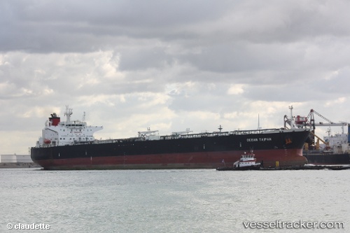
Vessel profile: NEVAH is a Crude Oil Tanker with dimensions m x m.
This page combines live AIS, route history, probable destination signals, nearby traffic, and port activity for practical vessel monitoring.
The current position of vessel NEVAH is 14.18418 lat / 56.85286 lng. Updated: 2026-05-21 19:00:41 UTCNearest reference points:
- 103 nm S of Port Raysut
Currently sailing under the flag of Cameroon ![]()
Details:
Live Vessel NEVAH Analytics (details, animations, etc.)
Recent AIS points (UTC):
2026-05-21 15:14:43 UTC · 13.97068, 57.56652 · SOG 11.3 kn · COG 288°2026-05-21 15:49:12 UTC · 14.00739, 57.46022 · SOG 11.7 kn · COG 287°
2026-05-21 17:35:11 UTC · 14.12398, 57.12700 · SOG 11.8 kn · COG 291°
2026-05-21 19:00:41 UTC · 14.18418, 56.85286 · SOG 12.1 kn · COG 279°