 vesseltracker.com
 ILK CILAVUZ
Current Status
Where is the vessel?
ILK CILAVUZ is currently in 14 nm W of Hazar, based on AIS data received about 14h ago.
Latest AIS update:
Current position: 39.45291° N, 52.80698° E (14 nm W of Hazar)
Average speed (last 7 days): Loading…
Average speed (last 30 days): Loading…
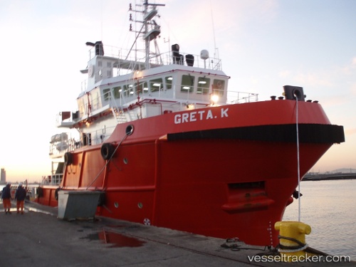
Vessel profile: ILK CILAVUZ is a Offshore Tug/Supply Ship with dimensions 15m x 60m.
This page combines live AIS, route history, probable destination signals, nearby traffic, and port activity for practical vessel monitoring.
The current position of vessel ILK CILAVUZ is 39.45291 lat / 52.80698 lng. Updated: 2026-05-18 10:28:42 UTCNearest reference points:
- Near Hazar
- Near Krasnovodsk
- 42 nm W of Hazar
Currently sailing under the flag of Turkmenistan ![]()
ILK CILAVUZ built in 2006 year
Deadweight:
1359 tDetails:
Live Vessel ILK CILAVUZ Analytics (details, animations, etc.)
Recent AIS points (UTC):
2026-05-18 06:54:23 UTC · 39.43316, 52.82761 · SOG 0.2 kn · COG -1°2026-05-18 08:03:25 UTC · 39.43326, 52.82761 · SOG 0.1 kn · COG -1°
2026-05-18 10:00:30 UTC · 39.43376, 52.82690 · SOG 0.2 kn · COG -1°
2026-05-18 10:28:42 UTC · 39.45291, 52.80698 · SOG 0.5 kn · COG -1°