 MV INDRAWATI
Current Status
Where is the vessel?
MV INDRAWATI is currently in Near Kaliorang, based on AIS data received about 14h ago.
Latest AIS update:
Current position: 0.78927° N, 117.88993° E (Near Kaliorang)
Average speed (last 7 days): Loading…
Average speed (last 30 days): Loading…
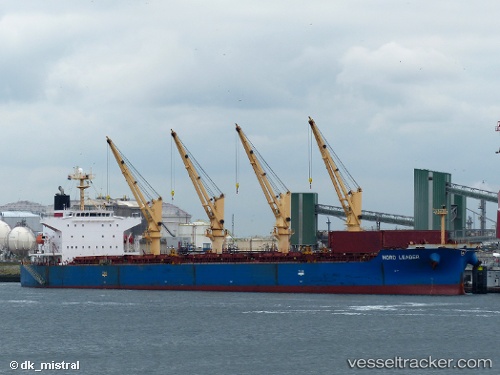
Vessel profile: MV INDRAWATI is a Bulk Carrier with dimensions m x m.
This page combines live AIS, route history, probable destination signals, nearby traffic, and port activity for practical vessel monitoring.
The current position of vessel MV INDRAWATI is 0.78927 lat / 117.88993 lng. Updated: 2026-05-20 10:45:22 UTCNearest reference points:
- Near LUBUKTUTUNG
- Near TANJUNG BARA
- Near Santan Terminal
Currently sailing under the flag of Indonesia ![]()
Details:
Live Vessel MV INDRAWATI Analytics (details, animations, etc.)
Recent AIS points (UTC):
2026-05-20 07:33:19 UTC · 0.79098, 117.89016 · SOG 0 kn · COG 131°2026-05-20 07:51:20 UTC · 0.79086, 117.89018 · SOG 0 kn · COG 125°
2026-05-20 09:45:20 UTC · 0.79089, 117.89025 · SOG 0.1 kn · COG 134°
2026-05-20 10:45:22 UTC · 0.78927, 117.88993 · SOG 0 kn · COG 74°