 BLUE BOSPORUS
Current Status
Where is the vessel?
BLUE BOSPORUS is currently in 26 nm W of Bayuquan, based on AIS data received about 14h ago.
Latest AIS update:
Current position: 40.38453° N, 121.56134° E (26 nm W of Bayuquan)
Average speed (last 7 days): Loading…
Average speed (last 30 days): Loading…
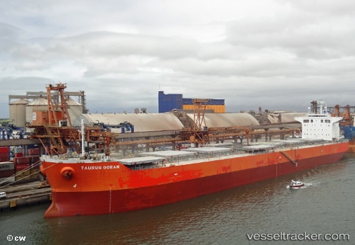
Vessel profile: BLUE BOSPORUS is a Bulk Carrier with dimensions m x m.
This page combines live AIS, route history, probable destination signals, nearby traffic, and port activity for practical vessel monitoring.
The current position of vessel BLUE BOSPORUS is 40.38453 lat / 121.56134 lng. Updated: 2026-05-21 05:44:36 UTCNearest reference points:
- 24 nm SE of HULUDAO
- 17 nm SW of PANJIN
- 15 nm W of Bayuquan
Currently sailing under the flag of Cyprus ![]()
Details:
Live Vessel BLUE BOSPORUS Analytics (details, animations, etc.)
Recent AIS points (UTC):
2026-05-21 01:23:37 UTC · 40.38359, 121.56231 · SOG 0 kn · COG 34°2026-05-21 03:32:39 UTC · 40.38357, 121.56172 · SOG 0 kn · COG 53°
2026-05-21 04:02:38 UTC · 40.38367, 121.56181 · SOG 0 kn · COG 53°
2026-05-21 05:44:36 UTC · 40.38453, 121.56134 · SOG 0.1 kn · COG 70°