 V CETUS
Current Status
Where is the vessel?
V CETUS is currently in 15 nm W of Saint-Gilles, based on AIS data received about 14h ago.
Latest AIS update:
Current position: 21.01375° S, 54.96693° E (15 nm W of Saint-Gilles)
Average speed (last 7 days): Loading…
Average speed (last 30 days): Loading…
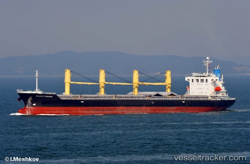
Vessel profile: V CETUS is a Bulk Carrier with dimensions m x m.
This page combines live AIS, route history, probable destination signals, nearby traffic, and port activity for practical vessel monitoring.
The current position of vessel V CETUS is -21.01375 lat / 54.96693 lng. Updated: 2026-05-20 09:30:25 UTCCurrently sailing under the flag of Panama ![]()
Details:
Live Vessel V CETUS Analytics (details, animations, etc.)
Recent AIS points (UTC):
2026-05-20 06:14:14 UTC · -21.27407, 54.65946 · SOG 10.9 kn · COG 61°2026-05-20 07:46:15 UTC · -21.11702, 54.91343 · SOG 10.9 kn · COG 60°
2026-05-20 08:02:35 UTC · -21.09012, 54.95751 · SOG 10.9 kn · COG 59°
2026-05-20 09:30:25 UTC · -21.01375, 54.96693 · SOG 5.7 kn · COG 260°