 K BEREKET
Current Status
Where is the vessel?
K BEREKET is currently in 16 nm NE of BODRUM, based on AIS data received about 14h ago.
Latest AIS update:
Current position: 37.25270° N, 27.60590° E (16 nm NE of BODRUM)
Average speed (last 7 days): Loading…
Average speed (last 30 days): Loading…
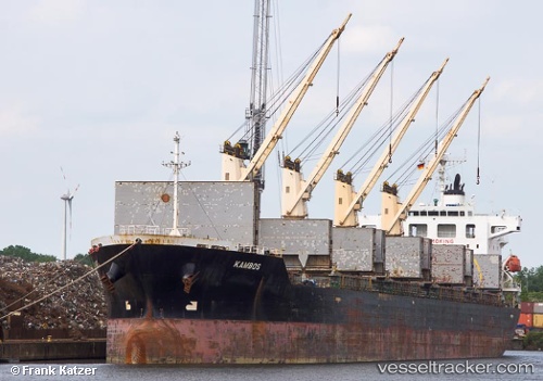
Vessel profile: K BEREKET is a Bulk Carrier with dimensions m x m.
This page combines live AIS, route history, probable destination signals, nearby traffic, and port activity for practical vessel monitoring.
The current position of vessel K BEREKET is 37.25270 lat / 27.60590 lng. Updated: 2026-05-21 01:58:45 UTCNearest reference points:
- Near BODRUM
- Near DIDIM
- Near TURGUTREIS
Currently sailing under the flag of Liberia ![]()
Details:
Live Vessel K BEREKET Analytics (details, animations, etc.)
Recent AIS points (UTC):
2026-05-20 22:10:43 UTC · 37.25268, 27.60590 · SOG 0 kn · COG 28°2026-05-20 23:55:45 UTC · 37.25267, 27.60588 · SOG 0 kn · COG 28°
2026-05-21 00:58:46 UTC · 37.25273, 27.60590 · SOG 0 kn · COG 29°
2026-05-21 01:58:45 UTC · 37.25270, 27.60590 · SOG 0 kn · COG 29°