 SINAR TIDORE
Current Status
Where is the vessel?
SINAR TIDORE is currently in 79 nm NE of PANGKAL BALAM, based on AIS data received about 20h ago.
Latest AIS update:
Current position: 1.04551° S, 106.91681° E (79 nm NE of PANGKAL BALAM)
Average speed (last 7 days): Loading…
Average speed (last 30 days): Loading…
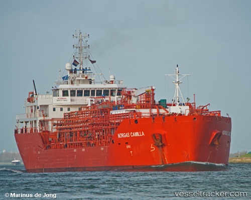
Vessel profile: SINAR TIDORE is a Tanker D with dimensions m x m.
This page combines live AIS, route history, probable destination signals, nearby traffic, and port activity for practical vessel monitoring.
The current position of vessel SINAR TIDORE is -1.04551 lat / 106.91681 lng. Updated: 2026-05-20 03:09:56 UTCNearest reference points:
- 69 nm NE of Exspan
- 46 nm NW of Tanjung Pandan
- Near PANGKAL BALAM
Currently sailing under the flag of Indonesia ![]()
Details:
Live Vessel SINAR TIDORE Analytics (details, animations, etc.)
Recent AIS points (UTC):
2026-05-20 03:09:56 UTC · -1.04551, 106.91681 · SOG 9.7 kn · COG 330°2026-05-20 03:09:56 UTC · -1.04551, 106.91681 · SOG 9.7 kn · COG 330°
2026-05-20 03:09:56 UTC · -1.04551, 106.91681 · SOG 9.7 kn · COG 330°
2026-05-20 03:09:56 UTC · -1.04551, 106.91681 · SOG 9.7 kn · COG 330°