 MAMMA MARIA
Current Status
Where is the vessel?
MAMMA MARIA is currently in 31 nm E of Ceuta, based on AIS data received about 15h ago.
Latest AIS update:
Current position: 35.85249° N, 4.67915° W (31 nm E of Ceuta)
Average speed (last 7 days): Loading…
Average speed (last 30 days): Loading…
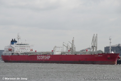
Vessel profile: MAMMA MARIA is a Crude Oil Tanker with dimensions m x m.
This page combines live AIS, route history, probable destination signals, nearby traffic, and port activity for practical vessel monitoring.
The current position of vessel MAMMA MARIA is 35.85249 lat / -4.67915 lng. Updated: 2026-05-21 01:50:53 UTCNearest reference points:
- 30 nm E of Ceuta
- 31 nm SE of Fuengirola
- Near Waterport
Currently sailing under the flag of Liberia ![]()
Details:
Live Vessel MAMMA MARIA Analytics (details, animations, etc.)
Recent AIS points (UTC):
2026-05-20 22:12:23 UTC · 35.79831, -4.70531 · SOG 0.8 kn · COG 331°2026-05-21 00:15:53 UTC · 35.82792, -4.69012 · SOG 0.9 kn · COG 342°
2026-05-21 01:09:53 UTC · 35.84155, -4.68351 · SOG 0.9 kn · COG 339°
2026-05-21 01:50:53 UTC · 35.85249, -4.67915 · SOG 0.9 kn · COG 346°