 NOVIK MARIA
Current Status
Where is the vessel?
NOVIK MARIA is currently in 11 nm N of Naissaare, based on AIS data received about 14h ago.
Latest AIS update:
Current position: 59.71365° N, 24.41738° E (11 nm N of Naissaare)
Average speed (last 7 days): Loading…
Average speed (last 30 days): Loading…
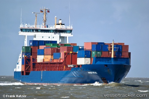
Vessel profile: NOVIK MARIA is a Container Ship with dimensions m x m.
This page combines live AIS, route history, probable destination signals, nearby traffic, and port activity for practical vessel monitoring.
The current position of vessel NOVIK MARIA is 59.71365 lat / 24.41738 lng. Updated: 2026-05-22 23:56:26 UTCNearest reference points:
- Near Aegna
- Near Nurme
- Near Vanasadam
Currently sailing under the flag of Russia ![]()
Details:
Live Vessel NOVIK MARIA Analytics (details, animations, etc.)
Recent AIS points (UTC):
2026-05-22 19:59:00 UTC · 59.42297, 22.72825 · SOG 14.1 kn · COG 71°2026-05-22 21:32:56 UTC · 59.53530, 23.40201 · SOG 13.6 kn · COG 71°
2026-05-22 22:08:16 UTC · 59.57934, 23.65179 · SOG 13.7 kn · COG 70°
2026-05-22 23:56:26 UTC · 59.71365, 24.41738 · SOG 13.9 kn · COG 77°