 YANBU
YANBU
Current Status
Where is the vessel?
YANBU is currently in 23 nm N of Port Said, based on AIS data received about 15h ago.
Latest AIS update:
Current position: 31.63953° N, 32.21816° E (23 nm N of Port Said)
Average speed (last 7 days): Loading…
Average speed (last 30 days): Loading…
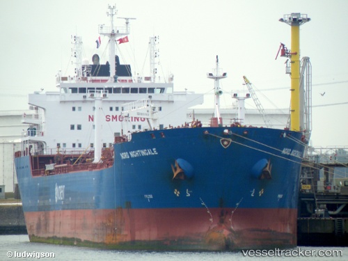
Vessel profile: YANBU is a Chemical Oil Products Tanker with dimensions 182m x 27m.
This page combines live AIS, route history, probable destination signals, nearby traffic, and port activity for practical vessel monitoring.
The current position of vessel YANBU is 31.63953 lat / 32.21816 lng. Updated: 2026-05-22 16:10:02 UTCNearest reference points:
- 21 nm N of Port Said
- 16 nm N of Port Said
- 15 nm N of Port Said
Currently sailing under the flag of Liberia ![]()
YANBU built in 2008 year
Deadweight:
38431 tDetails:
Live Vessel YANBU Analytics (details, animations, etc.)
Recent AIS points (UTC):
2026-05-22 13:32:35 UTC · 31.58860, 32.24746 · SOG 10.6 kn · COG 348°2026-05-22 13:48:35 UTC · 31.62840, 32.23878 · SOG 6.5 kn · COG 331°
2026-05-22 15:27:21 UTC · 31.63950, 32.21792 · SOG 0.1 kn · COG -1°
2026-05-22 16:10:02 UTC · 31.63953, 32.21816 · SOG 0 kn · COG -1°