 ESL DUBAI
Current Status
Where is the vessel?
ESL DUBAI is currently in 33 nm NE of Dar es Salaam, based on AIS data received about 14h ago.
Latest AIS update:
Current position: 6.42692° S, 39.69038° E (33 nm NE of Dar es Salaam)
Average speed (last 7 days): Loading…
Average speed (last 30 days): Loading…
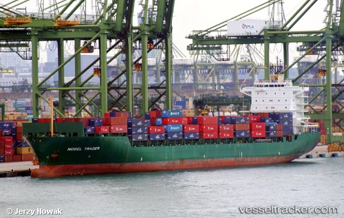
Vessel profile: ESL DUBAI is a Container Ship with dimensions m x m.
This page combines live AIS, route history, probable destination signals, nearby traffic, and port activity for practical vessel monitoring.
The current position of vessel ESL DUBAI is -6.42692 lat / 39.69038 lng. Updated: 2026-05-20 08:13:56 UTCNearest reference points:
- Near Dar Es Salaam
- 11 nm SE of Mombasa
- Near Mombasa
Currently sailing under the flag of Portugal ![]()
Details:
Live Vessel ESL DUBAI Analytics (details, animations, etc.)
Recent AIS points (UTC):
2026-05-20 04:17:58 UTC · -5.84395, 39.84469 · SOG 10.7 kn · COG 188°2026-05-20 05:12:10 UTC · -5.99855, 39.81505 · SOG 10.2 kn · COG 189°
2026-05-20 07:38:06 UTC · -6.35480, 39.75866 · SOG 11.1 kn · COG 240°
2026-05-20 08:13:56 UTC · -6.42692, 39.69038 · SOG 10.2 kn · COG 202°