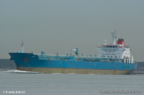
 STARLIGHT I
Current Status
Where is the vessel?
STARLIGHT I is currently in Near Pasadena, based on AIS data received about 14h ago.
Latest AIS update:
Current position: 29.74912° N, 95.10080° W (Near Pasadena)
Average speed (last 7 days): Loading…
Average speed (last 30 days): Loading…
Vessel profile: STARLIGHT I is a Oil/Chemical Tanker with dimensions m x m.
This page combines live AIS, route history, probable destination signals, nearby traffic, and port activity for practical vessel monitoring.
The current position of vessel STARLIGHT I is 29.74912 lat / -95.10080 lng. Updated: 2026-05-21 11:49:31 UTCNearest reference points:
- Near Jacinto City
- Near Morgan Point
- Near Pasadena
Currently sailing under the flag of Marshall Islands ![]()
Details:
Live Vessel STARLIGHT I Analytics (details, animations, etc.)
Recent AIS points (UTC):
2026-05-21 07:57:32 UTC · 29.34502, -94.73416 · SOG 8.8 kn · COG 266°2026-05-21 09:58:30 UTC · 29.63850, -94.96464 · SOG 12 kn · COG 342°
2026-05-21 11:12:41 UTC · 29.76365, -95.08011 · SOG 8.3 kn · COG 277°
2026-05-21 11:49:31 UTC · 29.74912, -95.10080 · SOG 0.5 kn · COG 60°