 DARLING RIVER
Current Status
Where is the vessel?
DARLING RIVER is currently in 107 nm W of Burnopfield, based on AIS data received about 14h ago.
Latest AIS update:
Current position: 54.03848° N, 175.14882° W (107 nm W of Burnopfield)
Average speed (last 7 days): Loading…
Average speed (last 30 days): Loading…
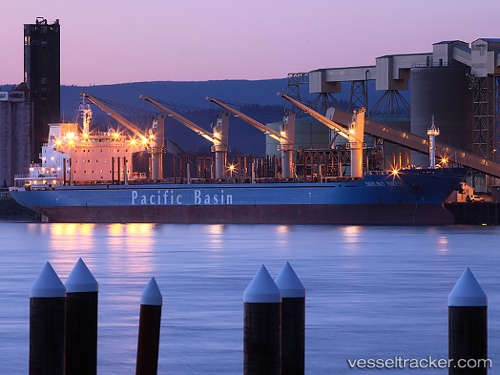
Vessel profile: DARLING RIVER is a Bulk Carrier with dimensions m x m.
This page combines live AIS, route history, probable destination signals, nearby traffic, and port activity for practical vessel monitoring.
The current position of vessel DARLING RIVER is 54.03848 lat / -175.14882 lng. Updated: 2026-05-22 22:14:04 UTCCurrently sailing under the flag of Singapore ![]()
Details:
Live Vessel DARLING RIVER Analytics (details, animations, etc.)
Recent AIS points (UTC):
2026-05-22 19:55:11 UTC · 54.08541, -174.46799 · SOG 10.2 kn · COG 264°2026-05-22 20:12:12 UTC · 54.07833, -174.55167 · SOG 10 kn · COG -1°
2026-05-22 21:35:43 UTC · 54.04947, -174.96013 · SOG 10.3 kn · COG 266°
2026-05-22 22:14:04 UTC · 54.03848, -175.14882 · SOG 10.5 kn · COG 266°