 JIAOLONG
Current Status
Where is the vessel?
JIAOLONG is currently in 177 nm SW of Keti Bandar, based on AIS data received about 15h ago.
Latest AIS update:
Current position: 22.28023° N, 64.94792° E (177 nm SW of Keti Bandar)
Average speed (last 7 days): Loading…
Average speed (last 30 days): Loading…
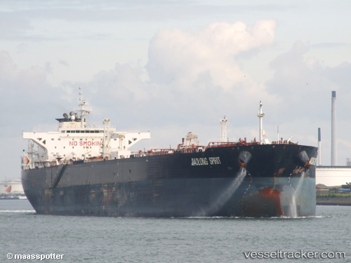
Vessel profile: JIAOLONG is a Crude Oil Tanker with dimensions m x m.
This page combines live AIS, route history, probable destination signals, nearby traffic, and port activity for practical vessel monitoring.
The current position of vessel JIAOLONG is 22.28023 lat / 64.94792 lng. Updated: 2026-05-22 19:51:29 UTCNearest reference points:
- 231 nm SW of Keti Bandar
- 147 nm SW of Kiamari
- 84 nm SW of Keti Bandar
Currently sailing under the flag of Liberia ![]()
Details:
Live Vessel JIAOLONG Analytics (details, animations, etc.)
Recent AIS points (UTC):
2026-05-22 16:49:30 UTC · 22.33933, 65.13897 · SOG 1.3 kn · COG 323°2026-05-22 17:35:41 UTC · 22.35686, 65.14327 · SOG 1.9 kn · COG 326°
2026-05-22 19:22:00 UTC · 22.31187, 65.01078 · SOG 8 kn · COG 240°
2026-05-22 19:51:29 UTC · 22.28023, 64.94792 · SOG 7.9 kn · COG 239°