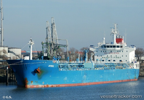
 STEEL
STEEL
Current Status
Where is the vessel?
STEEL is currently in 215 nm SE of Port Eads, based on AIS data received about 17h ago.
Latest AIS update:
Current position: 25.83333° N, 87.29167° W (215 nm SE of Port Eads)
Average speed (last 7 days): Loading…
Average speed (last 30 days): Loading…
Vessel profile: STEEL is a Chemical/Oil Products Tanker with dimensions 184m x 184m.
This page combines live AIS, route history, probable destination signals, nearby traffic, and port activity for practical vessel monitoring.
The current position of vessel STEEL is 25.83333 lat / -87.29167 lng. Updated: 2026-05-21 22:05:39 UTCCurrently sailing under the flag of Marshall Islands ![]()
STEEL built in 2008 year
Deadweight:
37538 tDetails:
Live Vessel STEEL Analytics (details, animations, etc.)
Recent AIS points (UTC):
2026-05-21 19:17:40 UTC · 26.30667, -87.60500 · SOG 12 kn · COG -1°2026-05-21 19:32:41 UTC · 26.26667, -87.56667 · SOG 12 kn · COG -1°
2026-05-21 21:32:39 UTC · 25.93167, -87.34333 · SOG 11 kn · COG -1°
2026-05-21 22:05:39 UTC · 25.83333, -87.29167 · SOG 11 kn · COG -1°