 TAYLOR DANOS
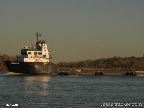
Current Status
Where is the vessel?
TAYLOR DANOS is currently in Near Pilottown, based on AIS data received about 14h ago.
Latest AIS update:
Current position: 29.25602° N, 89.35875° W (Near Pilottown)
Average speed (last 7 days): Loading…
Average speed (last 30 days): Loading…
Vessel profile: TAYLOR DANOS is a Passenger with dimensions m x m.
This page combines live AIS, route history, probable destination signals, nearby traffic, and port activity for practical vessel monitoring.
The current position of vessel TAYLOR DANOS is 29.25602 lat / -89.35875 lng. Updated: 2026-05-22 02:10:45 UTCNearest reference points:
- Near Pilottown
- 13 nm NE of Pilottown
- 11 nm NE of Port Sulphur
Currently sailing under the flag of United States ![]()
Details:
Live Vessel TAYLOR DANOS Analytics (details, animations, etc.)
Recent AIS points (UTC):
2026-05-21 21:37:43 UTC · 29.25500, -89.35833 · SOG 0 kn · COG -1°2026-05-21 22:06:56 UTC · 29.25603, -89.35875 · SOG 0 kn · COG 300°
2026-05-22 02:10:45 UTC · 29.25602, -89.35875 · SOG 0 kn · COG 300°
2026-05-22 02:10:45 UTC · 29.25602, -89.35875 · SOG 0 kn · COG 300°