 RAGNAR
Current Status
Where is the vessel?
RAGNAR is currently in Near Mersin, based on AIS data received about 14h ago.
Latest AIS update:
Current position: 36.72957° N, 34.73217° E (Near Mersin)
Average speed (last 7 days): Loading…
Average speed (last 30 days): Loading…
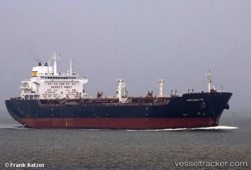
Vessel profile: RAGNAR is a Oil/Chemical Tanker with dimensions m x m.
This page combines live AIS, route history, probable destination signals, nearby traffic, and port activity for practical vessel monitoring.
The current position of vessel RAGNAR is 36.72957 lat / 34.73217 lng. Updated: 2026-05-21 02:03:37 UTCNearest reference points:
- Near Mersin
- Near Mersin-Free Zone
- Near YUMURTALIC
Currently sailing under the flag of Sierra Leone ![]()
Details:
Live Vessel RAGNAR Analytics (details, animations, etc.)
Recent AIS points (UTC):
2026-05-20 22:15:50 UTC · 36.76915, 34.73105 · SOG 0 kn · COG 202°2026-05-21 00:19:19 UTC · 36.74514, 34.72970 · SOG 3 kn · COG 162°
2026-05-21 01:02:18 UTC · 36.72931, 34.73188 · SOG 0.1 kn · COG 110°
2026-05-21 02:03:37 UTC · 36.72957, 34.73217 · SOG 0.1 kn · COG 122°