 HYDRUS
Current Status
Where is the vessel?
HYDRUS is currently in 26 nm SE of Summerstrand, based on AIS data received about 14h ago.
Latest AIS update:
Current position: 34.33917° S, 25.94519° E (26 nm SE of Summerstrand)
Average speed (last 7 days): Loading…
Average speed (last 30 days): Loading…
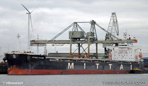
Vessel profile: HYDRUS is a Bulk Carrier with dimensions m x m.
This page combines live AIS, route history, probable destination signals, nearby traffic, and port activity for practical vessel monitoring.
The current position of vessel HYDRUS is -34.33917 lat / 25.94519 lng. Updated: 2026-05-21 11:22:52 UTCNearest reference points:
- 21 nm S of Mount Pleasant
- Near Deal Party
Currently sailing under the flag of Liberia ![]()
Details:
Live Vessel HYDRUS Analytics (details, animations, etc.)
Recent AIS points (UTC):
2026-05-21 08:13:29 UTC · -34.20255, 26.72632 · SOG 15.9 kn · COG 266°2026-05-21 09:54:03 UTC · -34.29077, 26.29533 · SOG 12.5 kn · COG 260°
2026-05-21 10:58:23 UTC · -34.32854, 26.03979 · SOG 11.5 kn · COG 264°
2026-05-21 11:22:52 UTC · -34.33917, 25.94519 · SOG 11.6 kn · COG 264°