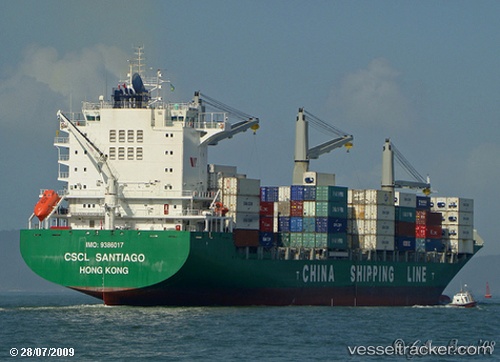
 MAERSK NADI
Current Status
Where is the vessel?
MAERSK NADI is currently in Near Pasir Panjang Wharves, based on AIS data received about 15h ago.
Latest AIS update:
Current position: 1.27134° N, 103.77263° E (Near Pasir Panjang Wharves)
Average speed (last 7 days): Loading…
Average speed (last 30 days): Loading…
Vessel profile: MAERSK NADI is a Container Ship with dimensions m x m.
This page combines live AIS, route history, probable destination signals, nearby traffic, and port activity for practical vessel monitoring.
The current position of vessel MAERSK NADI is 1.27134 lat / 103.77263 lng. Updated: 2026-05-19 00:13:42 UTCNearest reference points:
- Near Pasir Panjang Wharves
- Near PASIR PANJANG Terminal
- Near BUKOM ISLAND
Currently sailing under the flag of Marshall Islands ![]()
Details:
Live Vessel MAERSK NADI Analytics (details, animations, etc.)
Recent AIS points (UTC):
2026-05-18 19:52:44 UTC · 1.27119, 103.77285 · SOG 0 kn · COG 31°2026-05-18 22:01:42 UTC · 1.27154, 103.77268 · SOG 0 kn · COG 31°
2026-05-18 22:25:42 UTC · 1.27146, 103.77273 · SOG 0.1 kn · COG 31°
2026-05-19 00:13:42 UTC · 1.27134, 103.77263 · SOG 0 kn · COG 31°