 GAS LAGOON
Current Status
Where is the vessel?
GAS LAGOON is currently in 59 nm NW of Hongdo, based on AIS data received about 14h ago.
Latest AIS update:
Current position: 35.30292° N, 124.27397° E (59 nm NW of Hongdo)
Average speed (last 7 days): Loading…
Average speed (last 30 days): Loading…
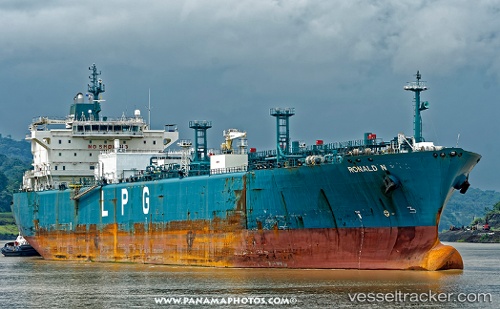
Vessel profile: GAS LAGOON is a Lpg Tanker with dimensions m x m.
This page combines live AIS, route history, probable destination signals, nearby traffic, and port activity for practical vessel monitoring.
The current position of vessel GAS LAGOON is 35.30292 lat / 124.27397 lng. Updated: 2026-05-22 09:02:04 UTCNearest reference points:
- 93 nm SE of SHIDAO
- 77 nm W of Hongdo
- 78 nm SE of Shidao Pt
Currently sailing under the flag of Panama ![]()
Details:
Live Vessel GAS LAGOON Analytics (details, animations, etc.)
Recent AIS points (UTC):
2026-05-22 06:15:25 UTC · 35.79258, 124.18710 · SOG 11 kn · COG 170°2026-05-22 07:10:56 UTC · 35.62490, 124.21948 · SOG 10 kn · COG 170°
2026-05-22 08:17:00 UTC · 35.43520, 124.25233 · SOG 10.6 kn · COG -1°
2026-05-22 09:02:04 UTC · 35.30292, 124.27397 · SOG 10.5 kn · COG -1°