Free State
Current StatusWhere is the vessel?
Free State is currently in 109 nm S of Methoni, based on AIS data received about 14h ago.
Latest AIS update:
Current position: 35.04607° N, 21.19983° E (109 nm S of Methoni)
Average speed (last 7 days): Loading…
Average speed (last 30 days): Loading…
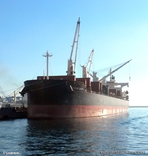
Vessel profile: Free State is a Bulk Carrier with dimensions 32m x 185m.
This page combines live AIS, route history, probable destination signals, nearby traffic, and port activity for practical vessel monitoring.
The current position of vessel Free State is 35.04607 lat / 21.19983 lng. Updated: 2026-05-21 17:46:07 UTCNearest reference points:
- 85 nm W of Paleochora
- 59 nm W of Paleochora
- 23 nm S of Methoni
Details:
Live Vessel Free State Analytics (details, animations, etc.)
Recent AIS points (UTC):
2026-05-21 13:49:58 UTC · 34.87988, 22.10245 · SOG 11.4 kn · COG 282°2026-05-21 16:11:07 UTC · 34.97268, 21.56843 · SOG 11.4 kn · COG 284°
2026-05-21 16:21:08 UTC · 34.97948, 21.53055 · SOG 11.4 kn · COG 284°
2026-05-21 17:46:07 UTC · 35.04607, 21.19983 · SOG 12.1 kn · COG 286°