 KM.BWT LANGGENG 011
Current Status
Where is the vessel?
KM.BWT LANGGENG 011 is currently in Near CIREBON, based on AIS data received about 14h ago.
Latest AIS update:
Current position: 6.71257° S, 108.57060° E (Near CIREBON)
Average speed (last 7 days): Loading…
Average speed (last 30 days): Loading…
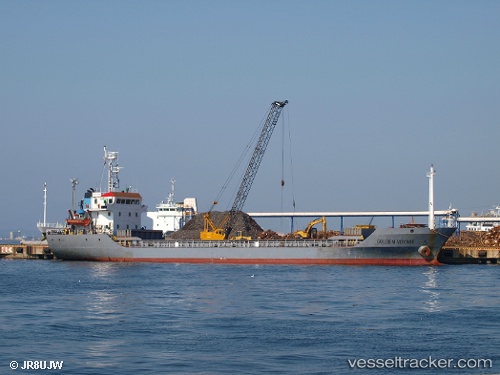
Vessel profile: KM.BWT LANGGENG 011 is a Cargo with dimensions m x m.
This page combines live AIS, route history, probable destination signals, nearby traffic, and port activity for practical vessel monitoring.
The current position of vessel KM.BWT LANGGENG 011 is -6.71257 lat / 108.57060 lng. Updated: 2026-05-19 19:19:04 UTCNearest reference points:
- 25 nm N of Gunungsari
- 26 nm N of Pemalang
- 31 nm NE of Rengasdengklok
Currently sailing under the flag of Indonesia ![]()
Details:
Live Vessel KM.BWT LANGGENG 011 Analytics (details, animations, etc.)
Recent AIS points (UTC):
2026-05-19 15:25:30 UTC · -6.71260, 108.57061 · SOG 0 kn · COG -1°2026-05-19 16:58:56 UTC · -6.71258, 108.57061 · SOG 0 kn · COG -1°
2026-05-19 18:11:18 UTC · -6.71257, 108.57061 · SOG 0 kn · COG -1°
2026-05-19 19:19:04 UTC · -6.71257, 108.57060 · SOG 0 kn · COG -1°