 SEAWAYS MIRAGE
Current Status
Where is the vessel?
SEAWAYS MIRAGE is currently in Open sea (no nearby ports in database), based on AIS data received about 14h ago.
Latest AIS update:
Current position: 14.58500° S, 1.96860° E (Open sea (no nearby ports in database))
Average speed (last 7 days): Loading…
Average speed (last 30 days): Loading…
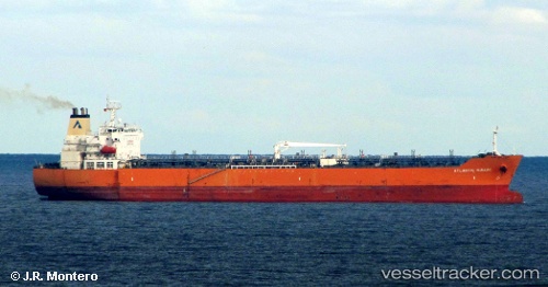
Vessel profile: SEAWAYS MIRAGE is a Oil/Chemical Tanker with dimensions m x m.
This page combines live AIS, route history, probable destination signals, nearby traffic, and port activity for practical vessel monitoring.
The current position of vessel SEAWAYS MIRAGE is -14.58500 lat / 1.96860 lng. Updated: 2026-05-21 04:29:16 UTCNearest reference points:
- Open sea (no nearby ports in database)
Currently sailing under the flag of Marshall Islands ![]()
Details:
Live Vessel SEAWAYS MIRAGE Analytics (details, animations, etc.)
Recent AIS points (UTC):
2026-05-21 01:26:35 UTC · -15.08278, 2.43270 · SOG 13.3 kn · COG 316°2026-05-21 01:40:06 UTC · -15.04717, 2.39755 · SOG 13 kn · COG 316°
2026-05-21 04:04:16 UTC · -14.65298, 2.03185 · SOG 13.2 kn · COG 318°
2026-05-21 04:29:16 UTC · -14.58500, 1.96860 · SOG 13 kn · COG 318°