 RMS MEL
Current Status
Where is the vessel?
RMS MEL is currently in 11 nm E of Gelibolu, based on AIS data received about 14h ago.
Latest AIS update:
Current position: 40.43502° N, 26.89478° E (11 nm E of Gelibolu)
Average speed (last 7 days): Loading…
Average speed (last 30 days): Loading…
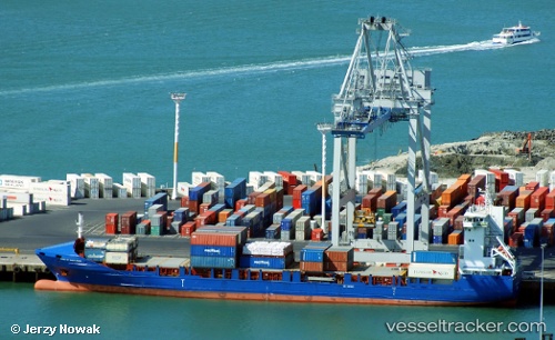
Vessel profile: RMS MEL is a Container Ship with dimensions m x m.
This page combines live AIS, route history, probable destination signals, nearby traffic, and port activity for practical vessel monitoring.
The current position of vessel RMS MEL is 40.43502 lat / 26.89478 lng. Updated: 2026-05-19 08:21:33 UTCNearest reference points:
- Near Sarköy
- Near Gelibolu
- Near Dardanelles
Currently sailing under the flag of Barbados ![]()
Details:
Live Vessel RMS MEL Analytics (details, animations, etc.)
Recent AIS points (UTC):
2026-05-19 04:32:23 UTC · 40.54850, 27.06788 · SOG 11.7 kn · COG 243°2026-05-19 05:51:32 UTC · 40.44611, 26.92163 · SOG 1.8 kn · COG 13°
2026-05-19 07:03:13 UTC · 40.44861, 26.91525 · SOG 0.8 kn · COG 41°
2026-05-19 08:21:33 UTC · 40.43502, 26.89478 · SOG 0.8 kn · COG 9°