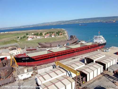
 AZOV COAST
Current Status
Where is the vessel?
AZOV COAST is currently in Near Bozcaada, based on AIS data received about 14h ago.
Latest AIS update:
Current position: 39.98340° N, 26.06510° E (Near Bozcaada)
Average speed (last 7 days): Loading…
Average speed (last 30 days): Loading…
Vessel profile: AZOV COAST is a General Cargo with dimensions m x m.
This page combines live AIS, route history, probable destination signals, nearby traffic, and port activity for practical vessel monitoring.
The current position of vessel AZOV COAST is 39.98340 lat / 26.06510 lng. Updated: 2026-05-21 22:55:31 UTCNearest reference points:
- Near Bozcaada
- 10 nm W of Akcansa
- Near Akcansa
Currently sailing under the flag of Saint Vincent and the Grenadines ![]()
Details:
Live Vessel AZOV COAST Analytics (details, animations, etc.)
Recent AIS points (UTC):
2026-05-21 19:16:11 UTC · 39.51111, 25.83443 · SOG 9.3 kn · COG 6°2026-05-21 19:36:22 UTC · 39.56489, 25.83930 · SOG 9.8 kn · COG 7°
2026-05-21 22:12:53 UTC · 39.93499, 25.98130 · SOG 6.5 kn · COG -1°
2026-05-21 22:55:31 UTC · 39.98340, 26.06510 · SOG 6.8 kn · COG 73°