 VISHVAKARMAA
Current Status
Where is the vessel?
VISHVAKARMAA is currently in 227 nm N of Barcarena, based on AIS data received about 15h ago.
Latest AIS update:
Current position: 3.18336° N, 46.47699° W (227 nm N of Barcarena)
Average speed (last 7 days): Loading…
Average speed (last 30 days): Loading…
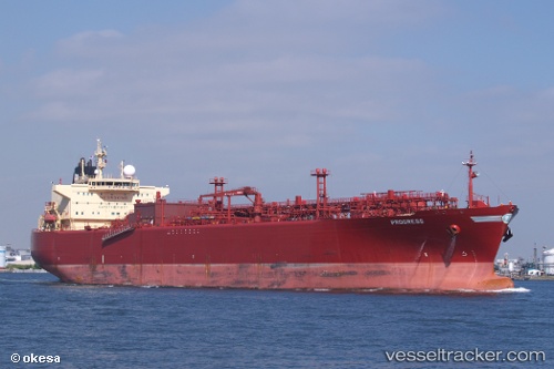
Vessel profile: VISHVAKARMAA is a Lpg Tanker with dimensions m x m.
This page combines live AIS, route history, probable destination signals, nearby traffic, and port activity for practical vessel monitoring.
The current position of vessel VISHVAKARMAA is 3.18336 lat / -46.47699 lng. Updated: 2026-05-21 11:39:22 UTCNearest reference points:
- 227 nm W of Juazeiro-Pi
Currently sailing under the flag of Marshall Islands ![]()
Details:
Live Vessel VISHVAKARMAA Analytics (details, animations, etc.)
Recent AIS points (UTC):
2026-05-21 08:21:43 UTC · 2.76766, -45.82813 · SOG 14 kn · COG 303°2026-05-21 10:24:41 UTC · 3.02163, -46.23504 · SOG 14 kn · COG 303°
2026-05-21 10:29:53 UTC · 3.03262, -46.25220 · SOG 14 kn · COG 303°
2026-05-21 11:39:22 UTC · 3.18336, -46.47699 · SOG 13.9 kn · COG 302°