 SEAWAYS WAVE
Current Status
Where is the vessel?
SEAWAYS WAVE is currently in 59 nm SE of Quintana, based on AIS data received about 14h ago.
Latest AIS update:
Current position: 28.32677° N, 94.40975° W (59 nm SE of Quintana)
Average speed (last 7 days): Loading…
Average speed (last 30 days): Loading…
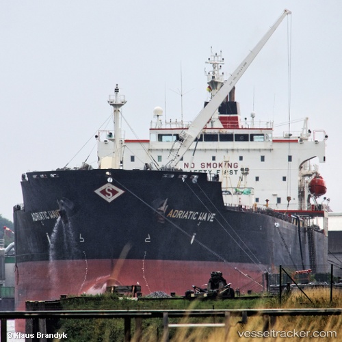
Vessel profile: SEAWAYS WAVE is a Oil/Chemical Tanker with dimensions m x m.
This page combines live AIS, route history, probable destination signals, nearby traffic, and port activity for practical vessel monitoring.
The current position of vessel SEAWAYS WAVE is 28.32677 lat / -94.40975 lng. Updated: 2026-05-21 22:46:39 UTCNearest reference points:
- 63 nm SE of Quintana
- 56 nm SE of Quintana
- 49 nm SE of Sheppard
Currently sailing under the flag of Marshall Islands ![]()
Details:
Live Vessel SEAWAYS WAVE Analytics (details, animations, etc.)
Recent AIS points (UTC):
2026-05-21 19:31:47 UTC · 27.68742, -94.38254 · SOG 5.2 kn · COG 329°2026-05-21 20:03:56 UTC · 27.70724, -94.40546 · SOG 7.4 kn · COG 350°
2026-05-21 21:18:14 UTC · 27.98655, -94.41779 · SOG 13.7 kn · COG 0°
2026-05-21 22:46:39 UTC · 28.32677, -94.40975 · SOG 13.7 kn · COG 0°