 JOHNNY RANGER
Current Status
Where is the vessel?
JOHNNY RANGER is currently in 24 nm N of Verzy, based on AIS data received about 14h ago.
Latest AIS update:
Current position: 49.51424° N, 4.39764° W (24 nm N of Verzy)
Average speed (last 7 days): Loading…
Average speed (last 30 days): Loading…
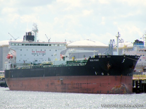
Vessel profile: JOHNNY RANGER is a Chemical/Oil Products Tanker with dimensions 32m x 182m.
This page combines live AIS, route history, probable destination signals, nearby traffic, and port activity for practical vessel monitoring.
The current position of vessel JOHNNY RANGER is 49.51424 lat / -4.39764 lng. Updated: 2026-05-18 23:57:31 UTCNearest reference points:
- 23 nm SW of Cornwall
- 12 nm S of Cornwall
- Near Verzy
Currently sailing under the flag of Liberia ![]()
JOHNNY RANGER built in 2008 year
Deadweight:
50922 tDetails:
Live Vessel JOHNNY RANGER Analytics (details, animations, etc.)
Recent AIS points (UTC):
2026-05-18 19:59:15 UTC · 49.29610, -5.47396 · SOG 10.1 kn · COG 73°2026-05-18 21:25:30 UTC · 49.37091, -5.07091 · SOG 11.7 kn · COG 72°
2026-05-18 23:08:01 UTC · 49.46505, -4.60927 · SOG 10.7 kn · COG 72°
2026-05-18 23:57:31 UTC · 49.51424, -4.39764 · SOG 10.6 kn · COG 77°