 DA NANG GAS
Current Status
Where is the vessel?
DA NANG GAS is currently in 14 nm S of Pulau Indah, based on AIS data received about 14h ago.
Latest AIS update:
Current position: 2.71387° N, 101.24123° E (14 nm S of Pulau Indah)
Average speed (last 7 days): Loading…
Average speed (last 30 days): Loading…
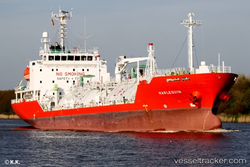
Vessel profile: DA NANG GAS is a LPG Tanker with dimensions 100m x 17m.
This page combines live AIS, route history, probable destination signals, nearby traffic, and port activity for practical vessel monitoring.
The current position of vessel DA NANG GAS is 2.71387 lat / 101.24123 lng. Updated: 2026-05-20 07:34:46 UTCNearest reference points:
- Near Pulau Indah
- 15 nm SW of Banting
- Near Carey Island Estate
Currently sailing under the flag of Vietnam ![]()
DA NANG GAS built in 2006 year
Deadweight:
4771 tDetails:
Live Vessel DA NANG GAS Analytics (details, animations, etc.)
Recent AIS points (UTC):
2026-05-20 03:42:10 UTC · 2.35598, 101.77923 · SOG 9 kn · COG 308°2026-05-20 04:54:50 UTC · 2.46665, 101.62583 · SOG 9.4 kn · COG 306°
2026-05-20 06:18:48 UTC · 2.60457, 101.43573 · SOG 10.5 kn · COG 310°
2026-05-20 07:34:46 UTC · 2.71387, 101.24123 · SOG 10.7 kn · COG 300°