 DELTA TITAN
Current Status
Where is the vessel?
DELTA TITAN is currently in 40 nm E of Galeota Point, based on AIS data received about 14h ago.
Latest AIS update:
Current position: 10.08088° N, 60.34481° W (40 nm E of Galeota Point)
Average speed (last 7 days): Loading…
Average speed (last 30 days): Loading…
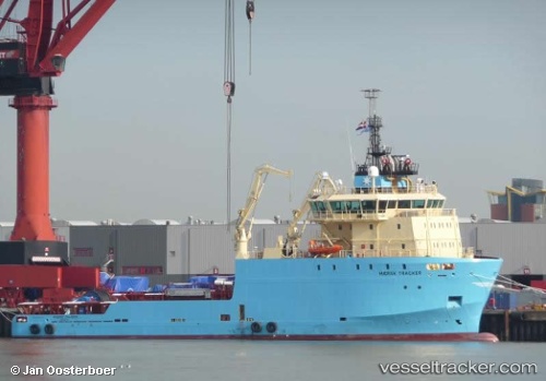
Vessel profile: DELTA TITAN is a Anchor Handling Vessel with dimensions m x m.
This page combines live AIS, route history, probable destination signals, nearby traffic, and port activity for practical vessel monitoring.
The current position of vessel DELTA TITAN is 10.08088 lat / -60.34481 lng. Updated: 2026-05-23 07:08:12 UTCNearest reference points:
- 16 nm E of Galeota Point
- Near POINT LISAS
- Near Caroni
Currently sailing under the flag of Bahamas ![]()
Details:
Live Vessel DELTA TITAN Analytics (details, animations, etc.)
Recent AIS points (UTC):
2026-05-23 04:03:02 UTC · 10.08080, -60.34502 · SOG 0.7 kn · COG 161°2026-05-23 04:54:01 UTC · 10.08081, -60.34479 · SOG 0.6 kn · COG 161°
2026-05-23 06:22:23 UTC · 10.08087, -60.34480 · SOG 0.5 kn · COG 161°
2026-05-23 07:08:12 UTC · 10.08088, -60.34481 · SOG 0.4 kn · COG 162°