 SAVIR TIGER
Current Status
Where is the vessel?
SAVIR TIGER is currently in 22 nm N of Ile D’Ouessant, based on AIS data received about 14h ago.
Latest AIS update:
Current position: 49.02648° N, 5.44864° W (22 nm N of Ile D’Ouessant)
Average speed (last 7 days): Loading…
Average speed (last 30 days): Loading…
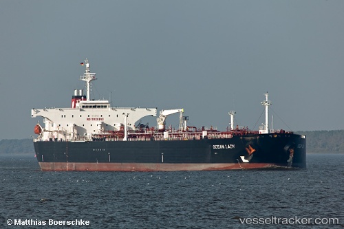
Vessel profile: SAVIR TIGER is a Crude Oil Tanker with dimensions m x m.
This page combines live AIS, route history, probable destination signals, nearby traffic, and port activity for practical vessel monitoring.
The current position of vessel SAVIR TIGER is 49.02648 lat / -5.44864 lng. Updated: 2026-05-22 05:50:36 UTCNearest reference points:
- 18 nm NE of Ile D’Ouessant
- 34 nm W of Verzy
- 16 nm NW of Ile D’Ouessant
Currently sailing under the flag of Indonesia ![]()
Details:
Live Vessel SAVIR TIGER Analytics (details, animations, etc.)
Recent AIS points (UTC):
2026-05-22 02:35:25 UTC · 49.37638, -4.53233 · SOG 13.3 kn · COG 242°2026-05-22 03:58:35 UTC · 49.21757, -4.93305 · SOG 13.4 kn · COG 240°
2026-05-22 04:21:54 UTC · 49.17876, -5.03391 · SOG 12.8 kn · COG -1°
2026-05-22 05:50:36 UTC · 49.02648, -5.44864 · SOG 11.9 kn · COG 239°